01
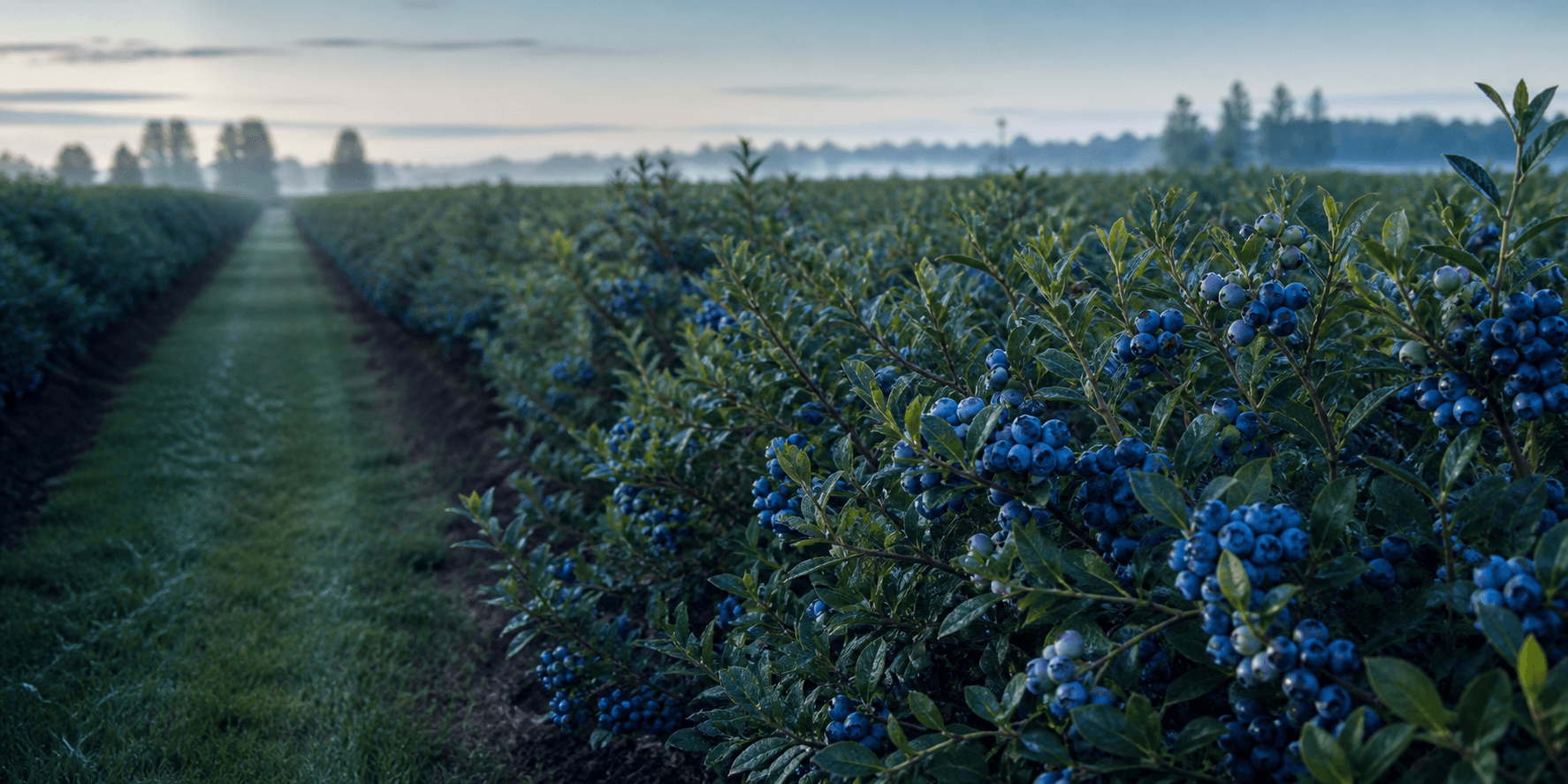
Weather
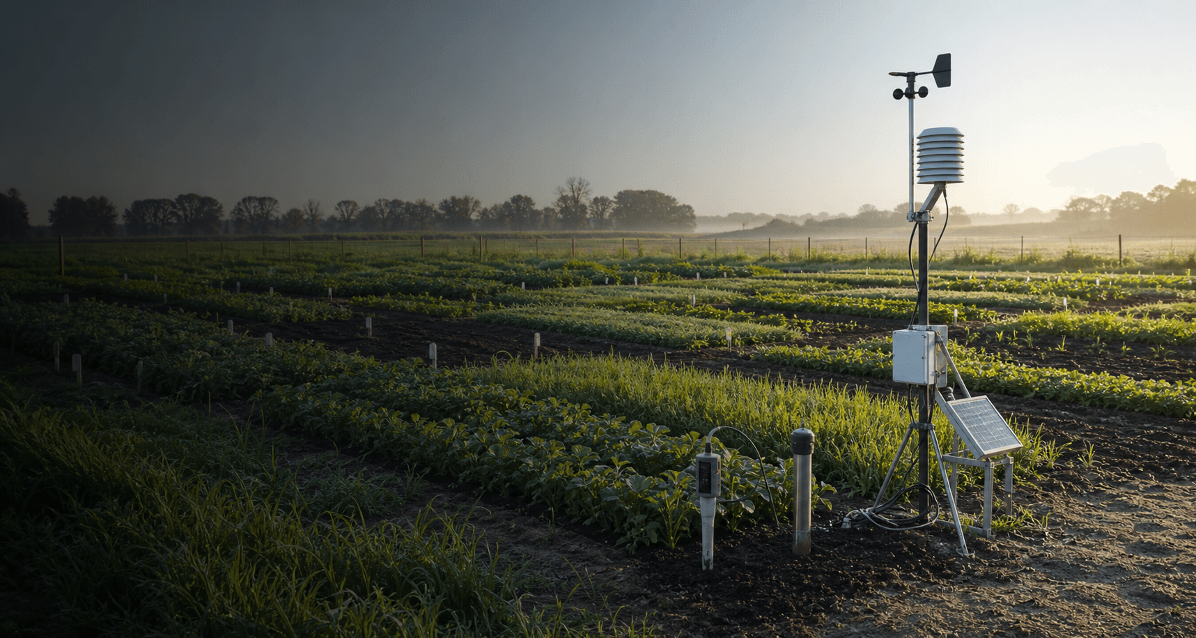
Forecasts and alerts

AgroPhytus connects what happens in the field, climate, imagery and operations. Each signal gains context, priority and a next action, with history preserved for the next visit.
Learn more →Weather, field activity, market intelligence and evidence arrive through separate channels. By the time the picture comes together, the window to act has often passed.
By connecting the ecosystem from field to market and from evidence to operations, AgroPhytus turns scattered signals into a response before risk becomes loss. More context to act at the right time, reduce impacts and protect every decision in the face of a potential loss event.
Forecasts and alerts
Inspections and operations
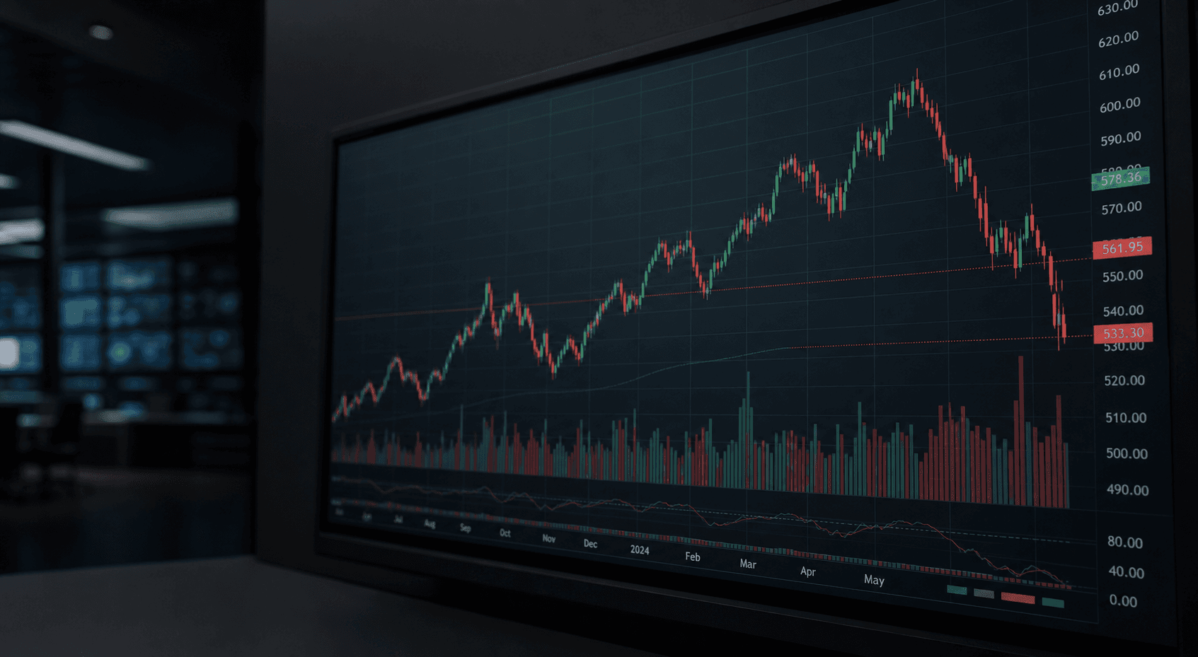
Prices and context
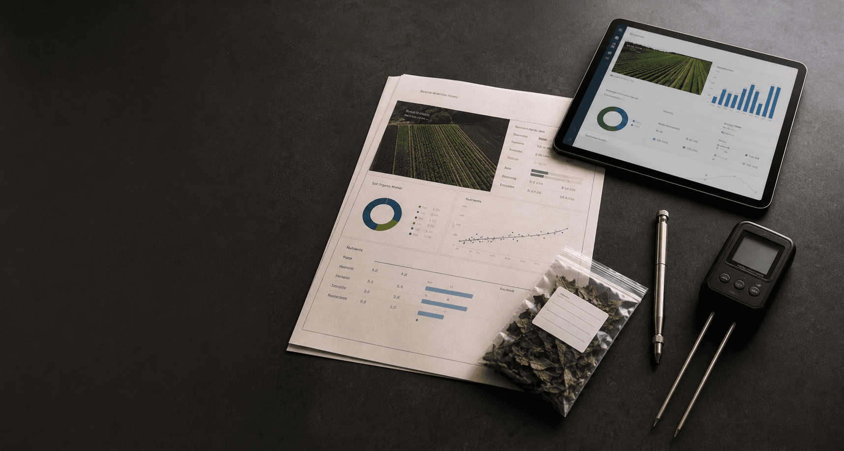
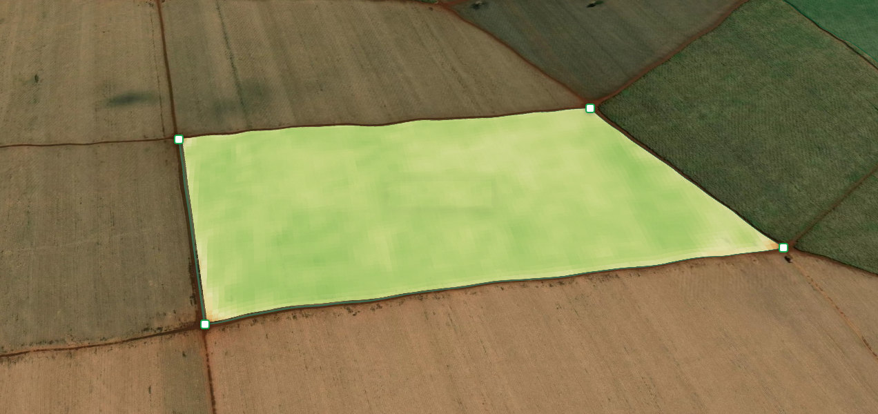
Analysis and evidence
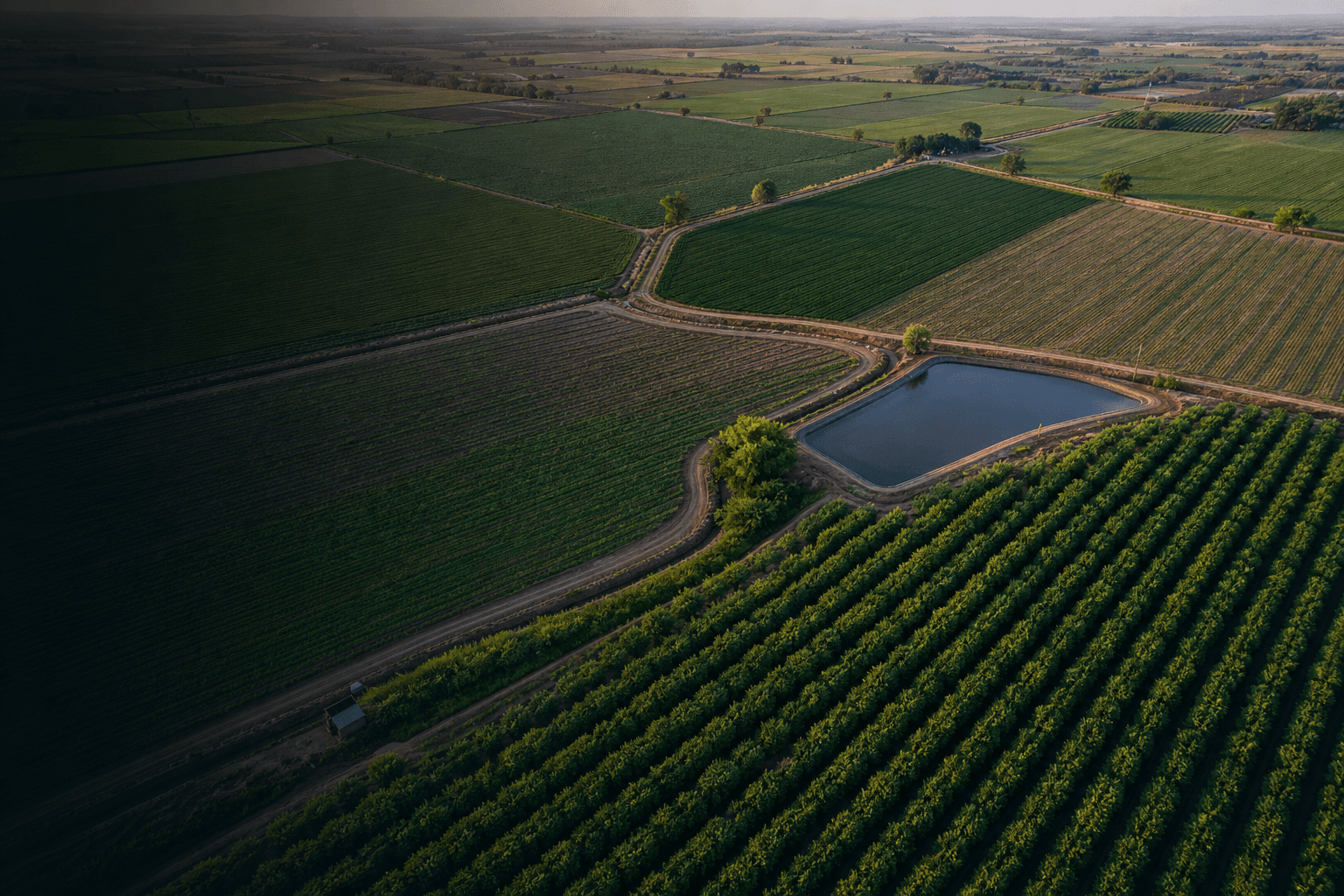
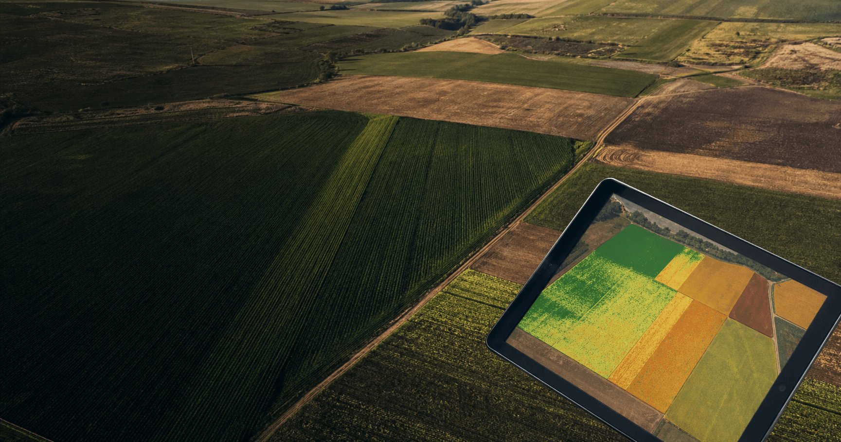
Imagery and field variation
Soil, moisture, temperature and trials
Harvests, occurrences and evidence
Potential, performance and prioritization
The right decision, at the right time.
One connected view to prioritize what needs action now.
AgroPhytus does not hand over raw data. Each module is a stage of a single flow, from the first signal to the evidence that backs the decision.
Satellite, drone, field, sensors and climate feed a single view of every field.
Data is organized and put into context with historical series, crop and region.
The system flags where risk or opportunity lies and what deserves attention first.
The agronomist or operations team confirms the response that fits the reality of each area.
The recommendation becomes a plan and a field execution that can be followed.
Dated, auditable evidence records what was done and what happened.
Results return to the system and help improve future decisions.
Every observation, decision, execution and result creates a precise, traceable record that remains useful for future harvests.
AgroPhytus connects programs, people and records to follow what was observed, validated and done at each location.
Moisture variation after a weather shift
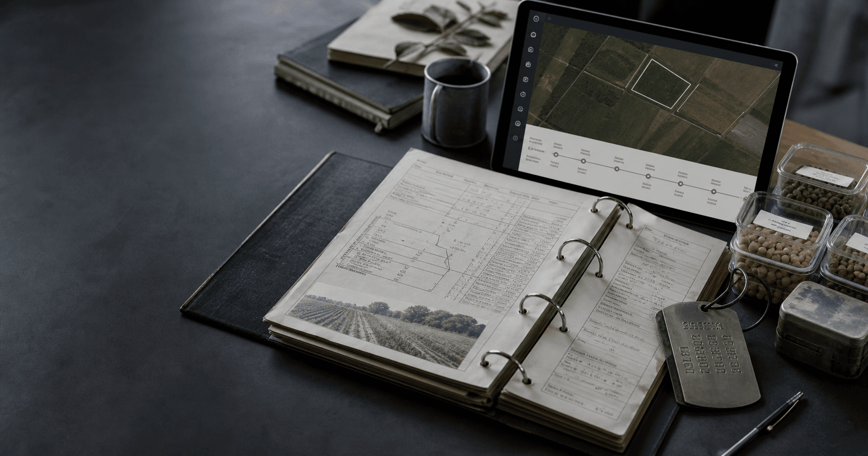
The agronomist records what was seen in the field, and the observation stays attached to the exact point where it was made. Photos, voice notes and readings are stored together, with date and time, so the same situation can be found again later.
Technology brings together signals from the field, imagery, climate and operations. Intelligence interprets each one by area, timing and history to guide the next action.
Visits, imagery, phenology and observations become part of one shared view of the farm.
 Visits
 Imagery
 Phenology
Climate, risk, priority and fertilization planning gain context before informing the next action.
 Climate
 Risk
Risk Fertilization
The action is recorded at the location, and the return visit preserves what changed for comparison across seasons.
 Action
 Return
 History
Different programs work from the same memory of the farm.
What happens in the field remains tied to area, timing and evidence as a decision moves through the chain.